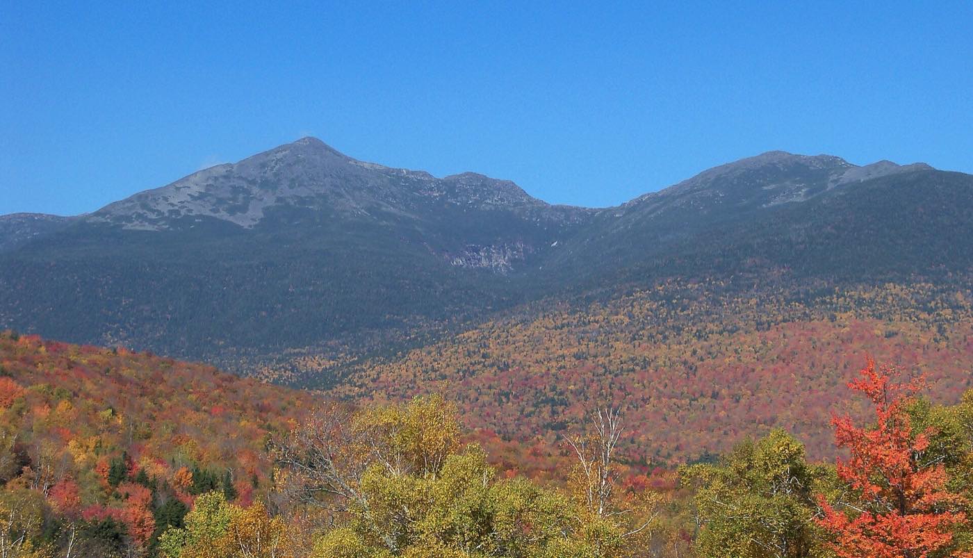
A ridge of granite summits named for American presidents and statesmen, crowned by Mount Washington, 6,288 feet high, where some of the most extreme weather on Earth has been recorded.
The Presidential Range runs roughly northeast to southwest through the White Mountain National Forest. Its high peaks rise above treeline into an alpine zone of rock, sedge, and low, wind-shaped plants. On a clear day the views reach across New England. On a bad day, the wind, cold, and fog can be dangerous even in summer.
This site is a guide to the range: its peaks and the stories behind their names, the huts that shelter hikers, the Cog Railway, the weather, the summit of Mount Washington, and the trails that lead to the top.
Explore
Mount Washington
The highest peak in the Northeast: its names, its history, the summit, and the trails to the top.
Read more →The Peaks
Every major summit in the range, and who it was named for.
Read more →The Huts
Lakes of the Clouds, Madison Spring, Mizpah Spring, and the other shelters along the ridge.
Read more →The Cog Railway
Climbing Mount Washington by rail since 1869.
Read more →Weather
The 231 mph gust, record cold, and why the summit is so severe.
Read more →Hiking
The main routes up the range, with trail links, and how to stay safe above treeline.
Read more →Map
An interactive topographic map of every peak, hut, and trailhead.
Explore →The Auto Road
A carriage road from 1861, the first car to the summit, and the oldest auto race in America.
Read more →The Alpine Zone
Arctic wildflowers, krummholz, and a butterfly found only on these mountains.
Read more →History
Summit hotels, stagecoaches, early cog trains, and a newspaper printed above the clouds.
Read more →The Presidential Traverse
A mile-by-mile elevation profile of the classic end-to-end hike over every summit.
See the profile →The Seasons
Spring skiing, summer wildflowers, fall color, and real winter: what to expect when.
Read more →My Hikes
My own photos from hikes with my sons, 2024 to 2026: Huntington and Tuckerman ravines, King Ravine, Mount Adams, and more.
See the photos →The peaks and their names
Most of the major summits are named for presidents, but not all of them. See the Peaks for the full story of each one. Several honor other prominent Americans, and a few have changed names over the years. The list below runs from southwest to northeast.
| Peak | Named for | Note |
|---|---|---|
| Mount Webster | Daniel Webster | Senator and Secretary of State, born in New Hampshire |
| Mount Jackson | Charles Thomas Jackson | A 19th-century geologist, not President Andrew Jackson |
| Mount Pierce | Franklin Pierce | The only president from New Hampshire. Formerly Mount Clinton, after DeWitt Clinton |
| Mount Eisenhower | Dwight D. Eisenhower | Formerly Mount Pleasant |
| Mount Franklin | Benjamin Franklin | |
| Mount Monroe | James Monroe | |
| Mount Washington | George Washington | Named in 1784, while Washington was still a general |
| Mount Clay | Henry Clay | New Hampshire renamed it Mount Reagan, but federal maps still use Clay |
| Mount Jefferson | Thomas Jefferson | |
| Mount Adams | John Adams | The range's second-highest peak. Its subpeaks include Mount Sam Adams and Mount Quincy Adams |
| Mount Madison | James Madison | The northeastern end of the high ridge |