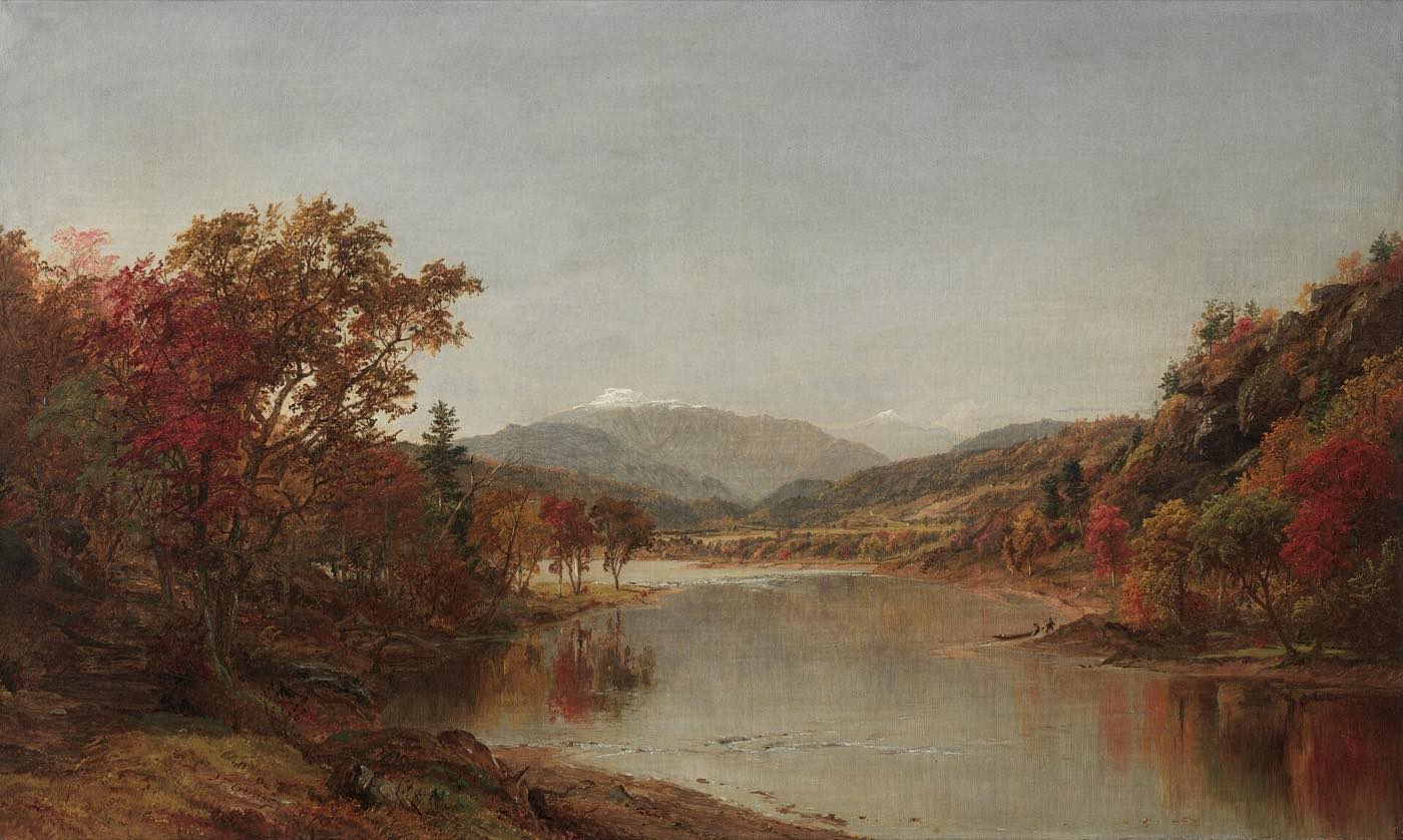
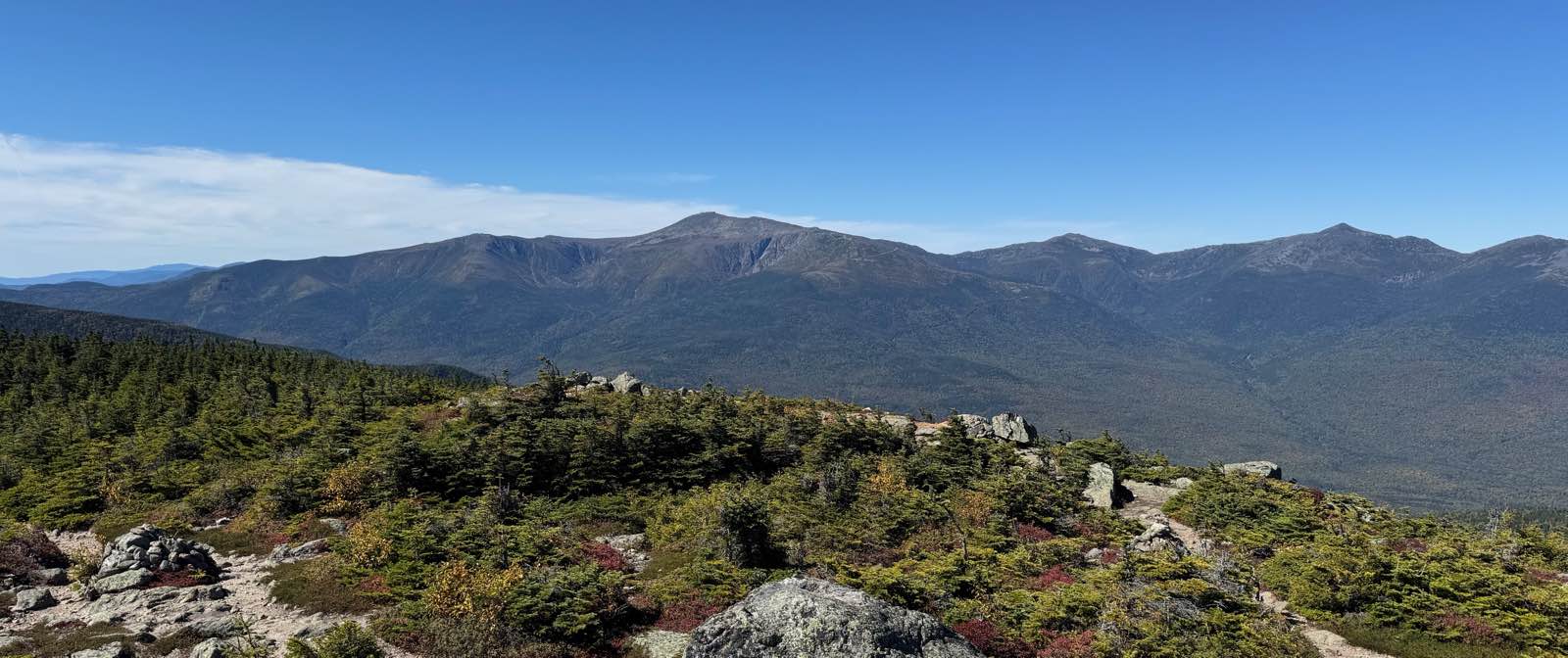
Mount Washington is the tallest mountain in the Northeastern United States and the centerpiece of the Presidential Range. Its summit holds a weather observatory, a state park, a 19th-century stone hotel, and the end of both a toll road and a cog railway.
It is also famous for its weather. For more than six decades, Mount Washington held the record for the fastest wind gust ever measured on Earth. The mountain's height, and its position where several storm tracks converge, make conditions at the summit far harsher than in the valleys just a few miles away.
What's in a name
Long before it was Mount Washington, the Abenaki people called the mountain Agiocochook, usually translated as "the place of the Great Spirit" or "home of the Concealed One." Other recorded names include Kôttak-Wajo, "so-hidden mountain," and Waumbik, "white rocks."
The name Mount Washington is generally credited to a 1784 scientific expedition led by the Reverend Manasseh Cutler. At the time, George Washington was famous as the general who had won the Revolutionary War. He would not become president for another five years. The earliest known map to use the name was published in 1796.
A short history of the summit
- 1642Darby Field makes the first recorded ascent, and climbs it again that October.
- 1784Manasseh Cutler's expedition gives the mountain its English name.
- 1819Abel and Ethan Allen Crawford open the Crawford Path, now considered the oldest continuously maintained hiking trail in the United States.
- 1852The first Summit House, a stone hotel, opens at the top.
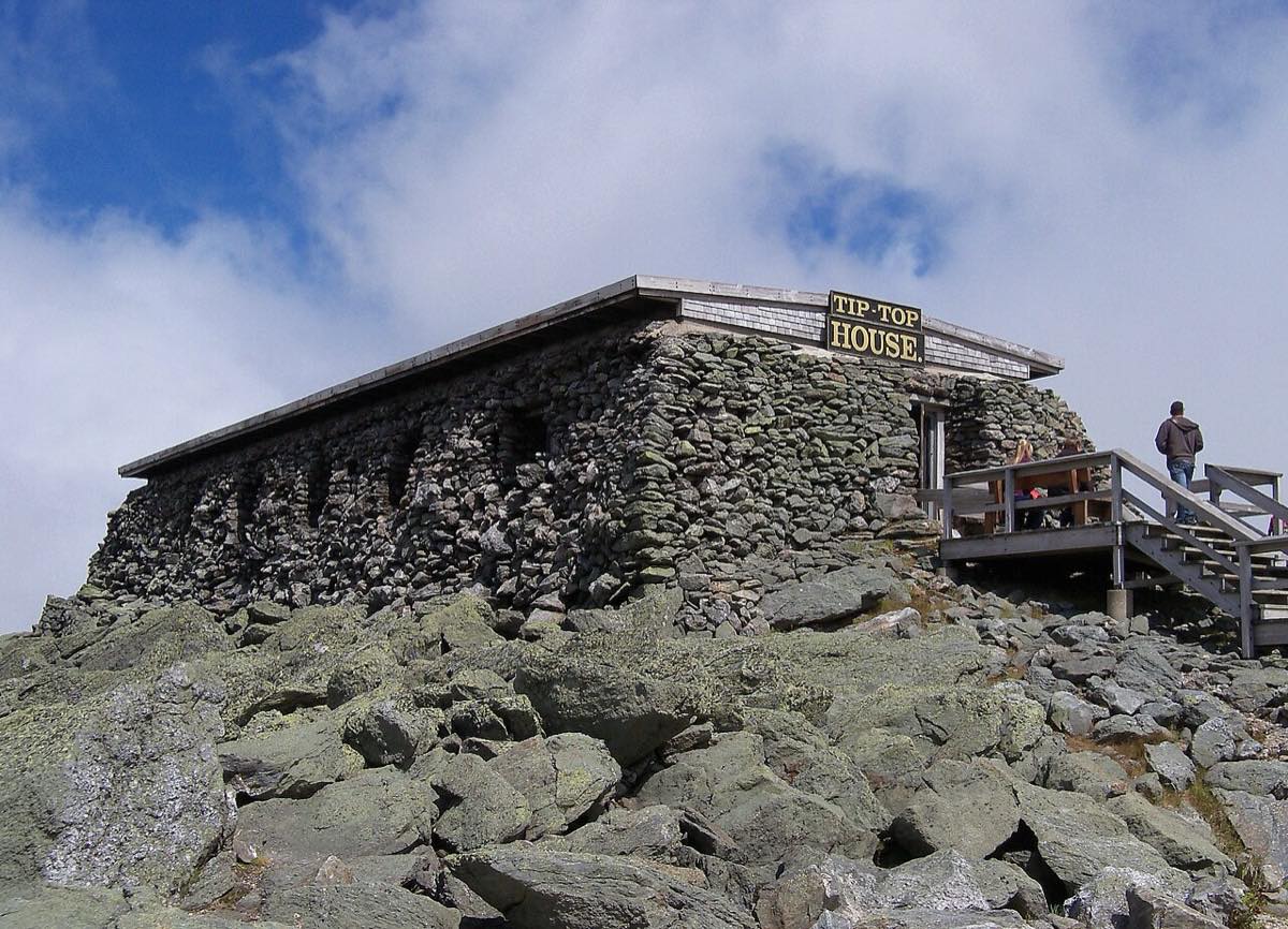
- 1853The Tip-Top House is built. It is the only summit building to survive the fire of 1908.
- 1861The Mount Washington Auto Road opens: 7.6 miles from the base to the summit.
- 1869The Mount Washington Cog Railway begins carrying passengers to the top.
- 1932The Mount Washington Observatory is founded on the summit.
- 1934Observers record a 231 mph gust, a world record for 62 years.

The summit today
The top of the mountain is protected as Mount Washington State Park, which covers 60.3 acres around the summit. Its main building, the Sherman Adams summit building, houses the visitor facilities and the Mount Washington Observatory's weather station. It is closed to the public in winter.
Visitors arrive three ways: on foot, by car or guided van on the Auto Road, or by train on the Cog Railway. On a clear day, the view from the summit takes in the rest of the Presidential Range and stretches across several states. But clear days are not the norm. The summit is often in fog, and conditions can change within minutes.
To see the summit right now, check the Observatory's summit camera and current summit conditions.
The weather
Mount Washington calls its weather "the world's worst," and the records back that up. On April 12, 1934, observers measured a gust of 231 mph. It stood as the fastest wind ever recorded on Earth until 1996, when an automated station in Australia measured a faster gust during Tropical Cyclone Olivia. It remains the fastest wind ever recorded by people at a staffed weather station.
The cold is just as severe. In February 2023, the temperature fell to −46.7°F, tying the Observatory's all-time record low, while the wind chill dropped to −109°F. The summit receives over 91 inches of precipitation a year, much of it as snow.
More than 160 people have died in the Presidential Range since record-keeping began in 1849, many of them caught out by sudden changes in the weather.
Hiking to the top
Many trails lead to the summit. Some of the best known are below, each linked to its AllTrails page. See Hiking for more routes and safety advice.
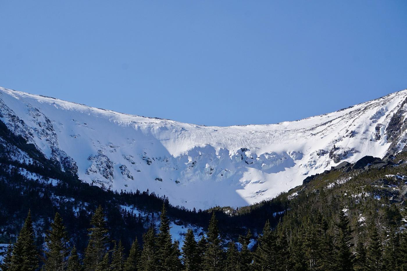
- Tuckerman Ravine Trail: the most popular route, 4.1 miles from Pinkham Notch with about 4,280 feet of elevation gain. It climbs through Tuckerman Ravine, a glacial cirque famous for spring skiing.
- Lion Head Trail: an alternative to Tuckerman on the east side, and the usual winter route when the ravine is too dangerous.
- Ammonoosuc Ravine Trail: a steep climb from the west, past waterfalls, to the Lakes of the Clouds Hut.
- Jewell Trail: a western route along a long ridge, often paired with the Ammonoosuc Ravine Trail for a loop.
- Crawford Path: the historic route from Crawford Notch, crossing the southern peaks of the range.
- Huntington Ravine Trail: widely considered the most difficult hiking trail in the White Mountains, with steep rock scrambles.

Before you go: Conditions above treeline can be severe at any time of year. Check the Higher Summits Forecast and current summit conditions from the Mount Washington Observatory, and in winter and spring the Mount Washington Avalanche Center. Bring warm layers even in summer, and be ready to turn back. This site is for general interest. Rely on official sources for current trail and safety information.